
St. George’s Hill and Fort St. George are located in Montserrat’s Exclusion Zone V, just two miles from the volcano’s summit. Since the Soufrière Hills volcano erupted in 1995–1996, the hill has been strictly off-limits due to its proximity to the vents. In January 2026, the Montserrat Disaster Management Coordination Agency (DMCA) modified the regulations to permit daytime visits with a certified guide and a permit ($5 USD per person; free for residents).
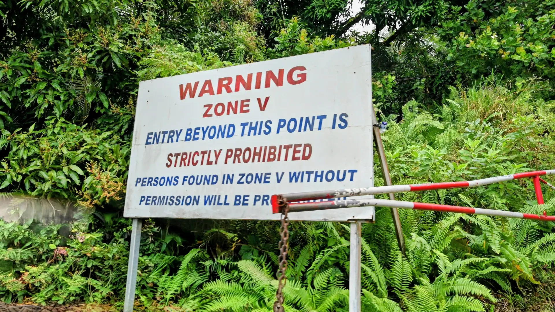
Entry to Zone 5 is prohibited without a guide (16.723096,-62.205002)
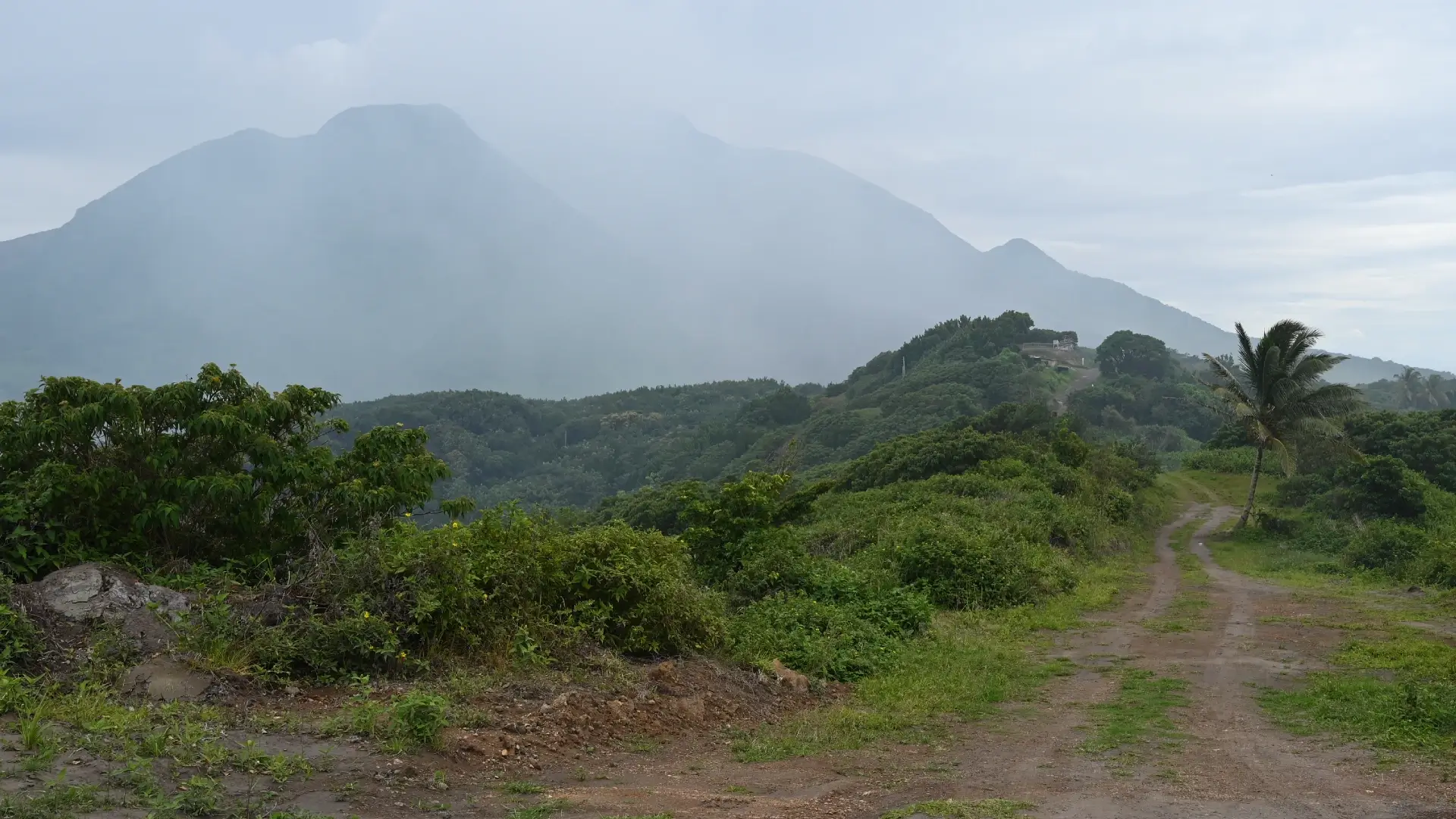
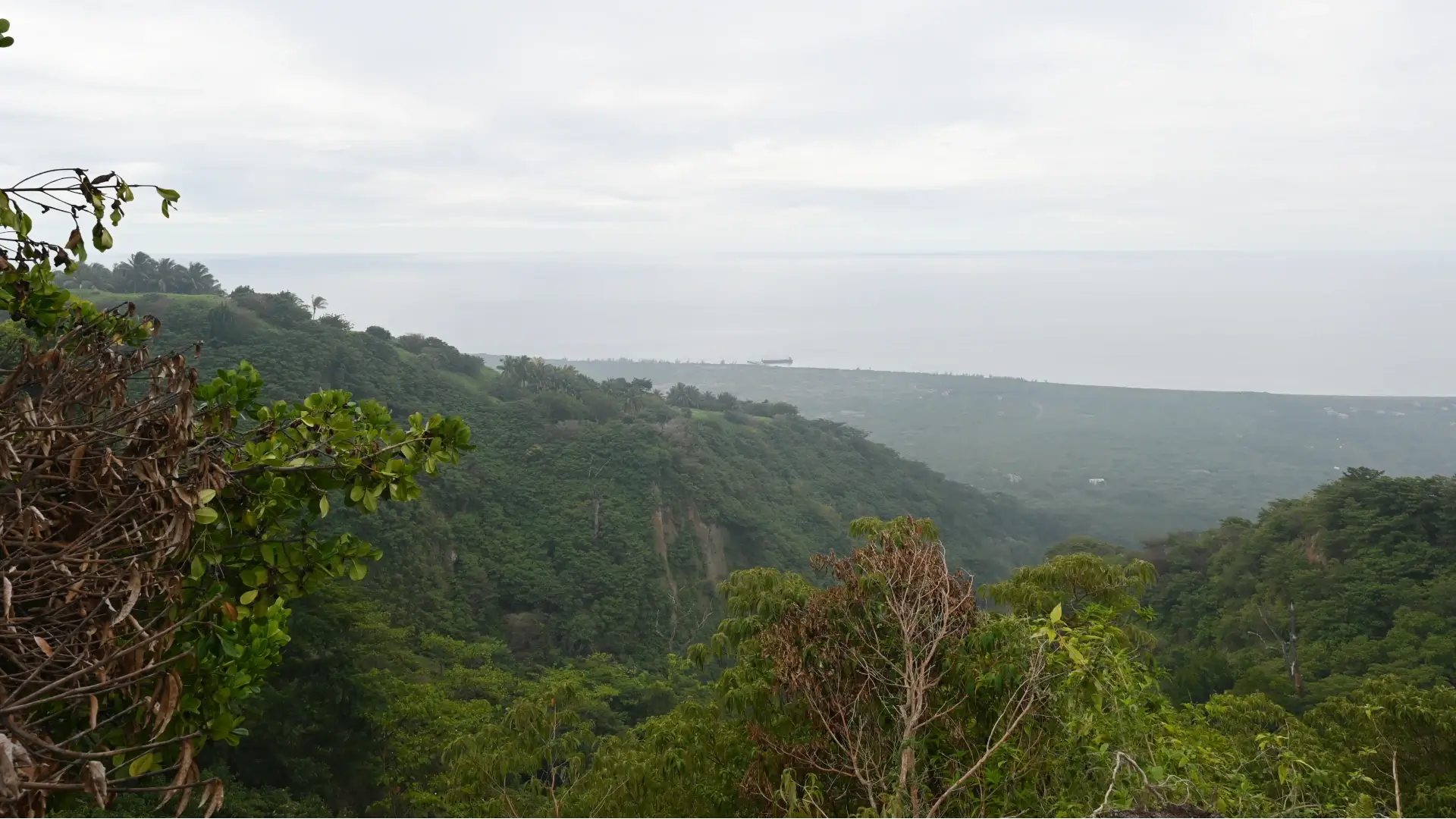
The views from Fort St. George are spectacular, offering sweeping 360-degree vistas stretching from Plymouth pier to the volcano’s crest. Unfortunately for us, we managed to pick the single day in three weeks with daytime rain, which obscured our view of Soufrière Hills.
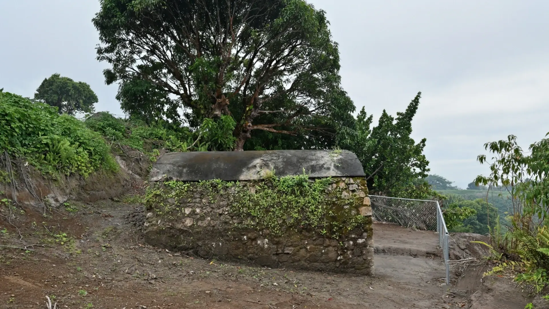
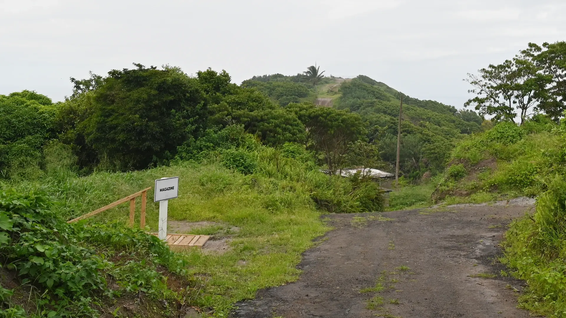
Fort Saint George’s Magazine (16.721414 , -62.207134)
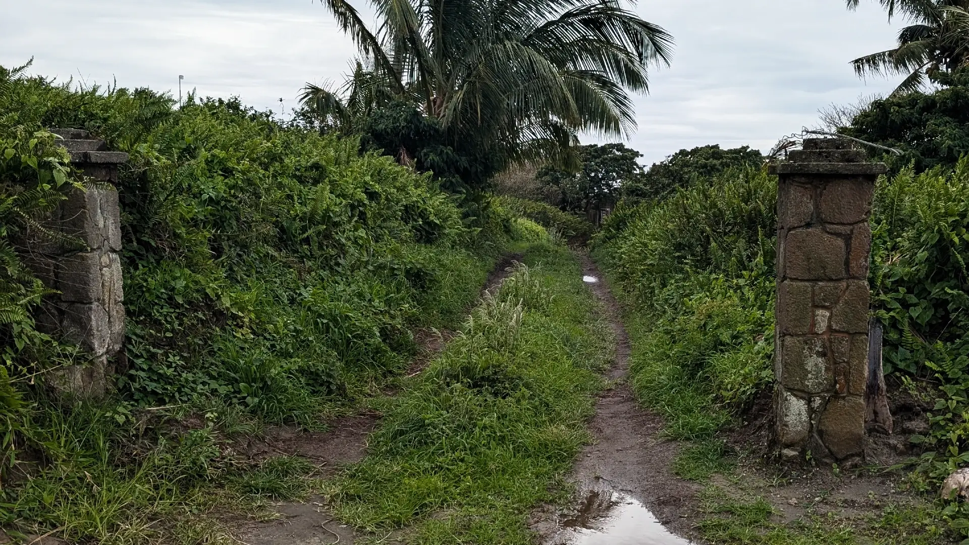
Abandoned Estate (16.719236 , -62.206537)
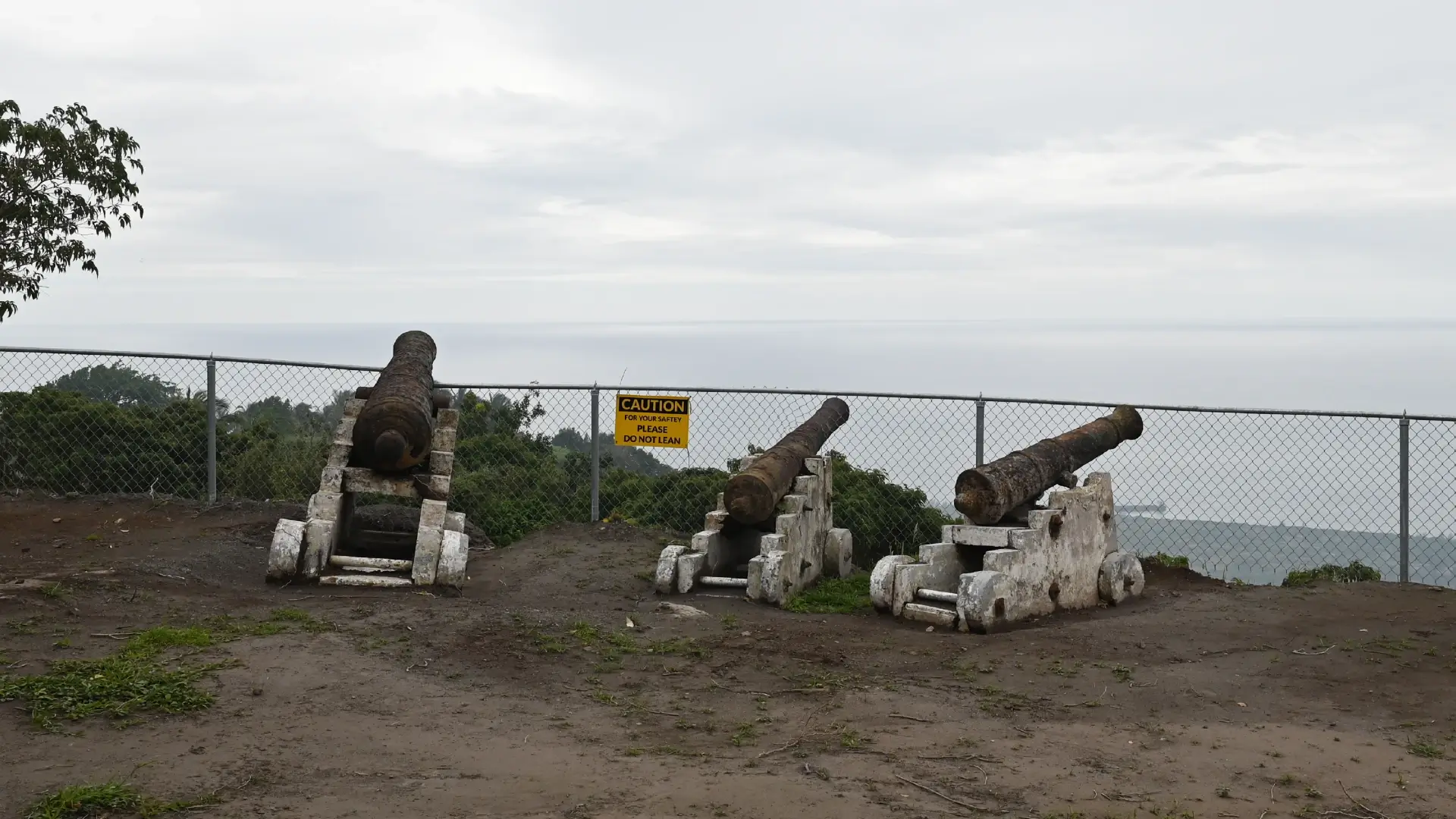
The fort itself—of which little now remains—was constructed in 1782 during French occupation and originally featured two gun batteries alongside a central powder magazine. Control of Montserrat was restored to the British in 1783 under the Treaty of Paris (ratified in 1784), which also brought an end to the American Revolutionary War.
Following the overgrown private drive just east of the battery leads to the ruins of a once-grand estate perched on the cliff’s edge. From this vantage, the immense scale of the landscape—and its devastation—comes into sharp focus. Only then do you realize that the “boulders” scattered across the slope are actually the size of houses, hurled and deposited there by the volcano’s violent pyroclastic flows.
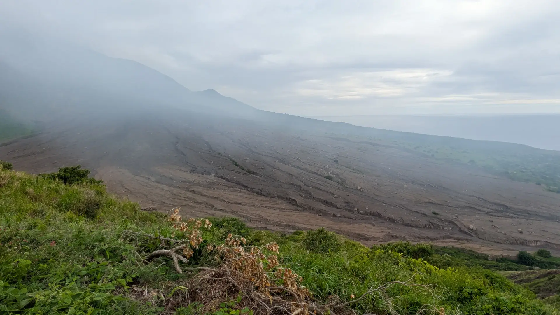
View from abandoned estate (16.718558 , -62.206419)
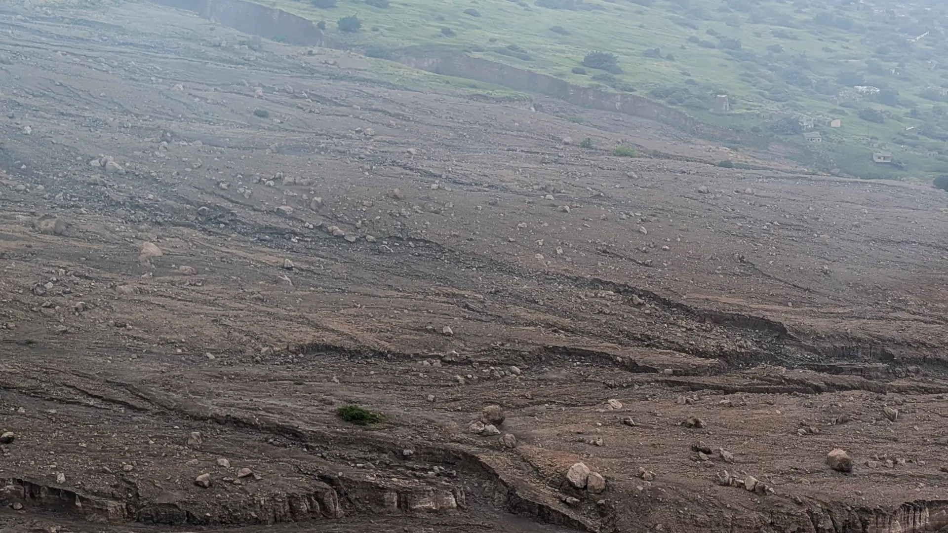
View from abandoned estate (16.718558 , -62.206419)
Additional Photographs


Leave a Reply
Want to join the discussion?Feel free to contribute!